Voici une série de 34 photos en noir et blanc prises à Meyrin à Genève. Ces clichés, réalisés en 1990 lors d’un stage photo, capturent des moments uniques et des lieux emblématiques de ma cité d’enfance. À travers ces images, j’ai voulu capturer une époque (sans le savoir) où la vie semblait plus détendue, avec moins de voitures et plus d’espaces ouverts. Accompagnez-moi dans ce voyage nostalgique à travers les rues et les paysages de Meyrin.
La galerie de photos de Meyrin en 1990
Un Stage Photo au CERN
En 1990, à mes 18 ans, j’ai eu l’opportunité de développer mes compétences en photographie argentique lors d’un stage photo au CERN pedant 3 mois. Avec une carte blanche pour explorer et capturer des images, j’ai décidé de me concentrer sur Meyrin, le lieu où j’ai grandi. Armé de mon appareil photo, j’ai parcouru les rues familières, immortalisant des endroits typiques de la cité.
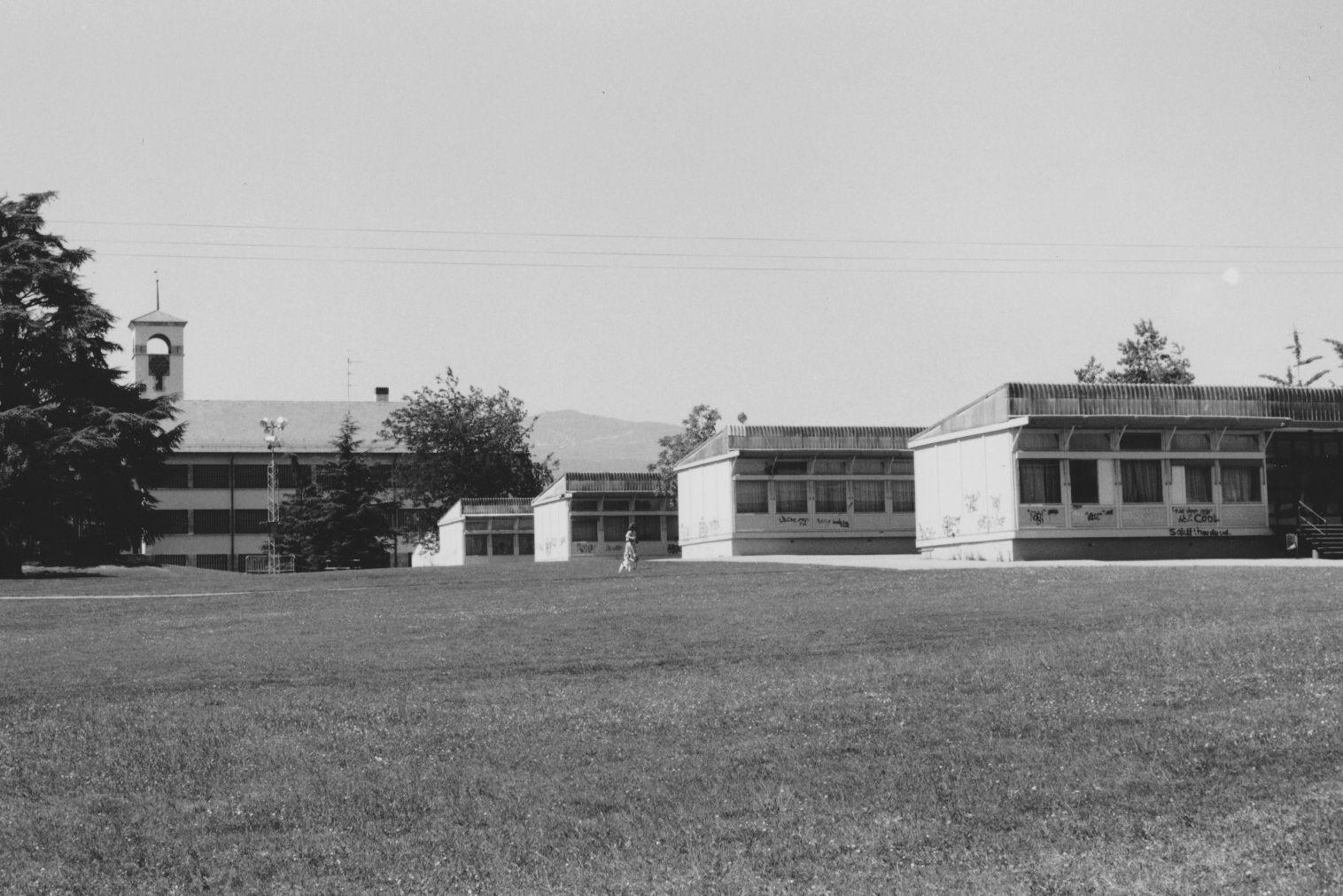
Les fameux Pavillons de l’École de Meyrin-Village
Ces structures distinctives, construits à l’époque des années fin 60 début 70 étaient des bâtiments provisoires avec leur architecture iconiques, sont un souvenir inoubliables pour celles et ceux qui y ont passé étant enfant. Chaque bâtiment habitait deux classes d’école avec au centre le lieu commun pour les toilettes et les vestiaires.
Le Centre Commercial de Meyrin
Le centre commercial de Meyrin, haut lieu de rencontre emblématique des Meyrinois. À cette époque, le centre était bien moins fréquenté qu’aujourd’hui, ce qui m’a permis de saisir des moments de tranquillité évoquant une époque où la vie semblait plus simple.
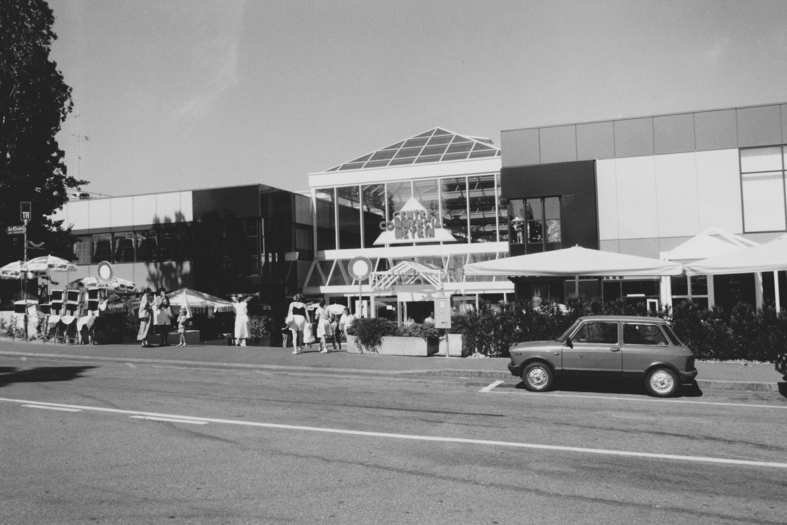
L’entrée principale du centre commercial de Meyrin avec la route directement devant et peu de circulation.
Les Rues de Meyrin : Prulay et Vaudagne
C’est vraiment là où j’ai grandi. En me baladant dans les rues de Prulay et Vaudagne. Les immeubles, les trottoirs et les arbres bordant les rues créent une atmosphère paisible. Ces photos reflètent un temps où la circulation était bien moins dense, offrant une sensation d’espace et de calme.
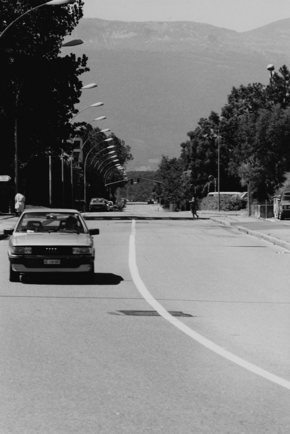
La rue de la Prulay de Meyrin quasiment vide.
Les Champs-Fréchets
Les champs-Fréchets, avec leurs vastes étendues. Ces paysages agricoles, en contraste avec l’urbanisation environnante, montrent la coexistence harmonieuse entre la nature et la cité.
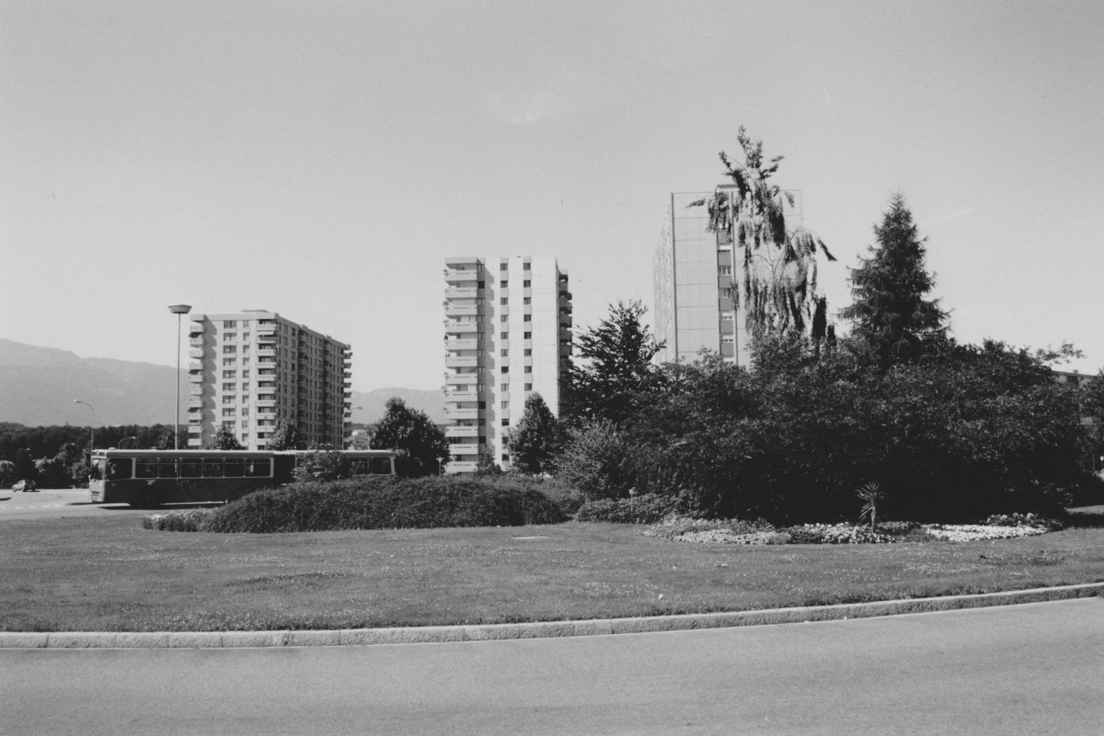
Les grands immeubles des Champs-Fréchets avec le bus 15 sur le rond-point
Le Jardin Robinson : Un Lieu Inoubliable
Le Jardin Robinson, avec son atmosphère unique, est sans doute l’un des lieux les plus mémorables de Meyrin. Ce jardin communautaire, espace de jeux et de détente pour les familles. Les photos en noir et blanc accentuent le charme nostalgique de ce lieu inoubliable.
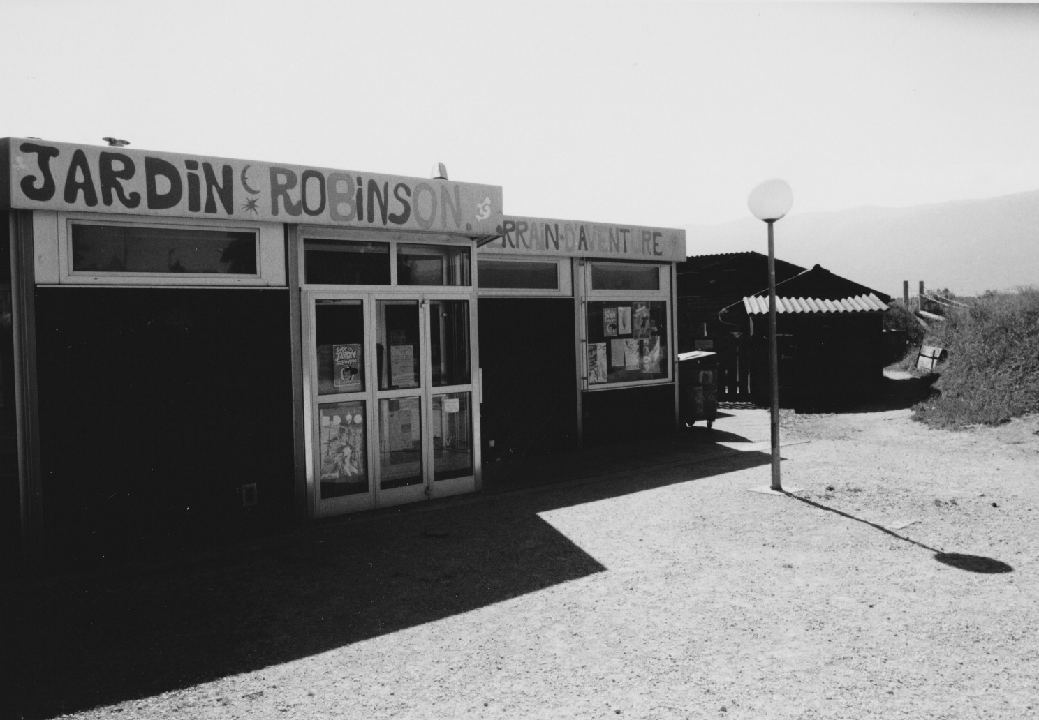
Les bâtiments principaux du jardin robinson avec le début du terrain sur la droite qui était un haut lieu de jeux pour les enfants Meyrinois
Conclusion
Ces 34 photos en noir et blanc de Meyrin, Genève, sont bien plus que de simples clichés ; elles sont un témoignage d’une époque révolue, une invitation à la nostalgie. J’espère que vous apprécierez ce voyage dans le temps autant que j’ai aimé le capturer. N’hésitez pas à partager vos souvenirs de Meyrin dans les commentaires ci-dessous.
La galerie de photos de Meyrin en 1990
Merci de votre visite, et à bientôt pour de nouvelles découvertes photographiques !
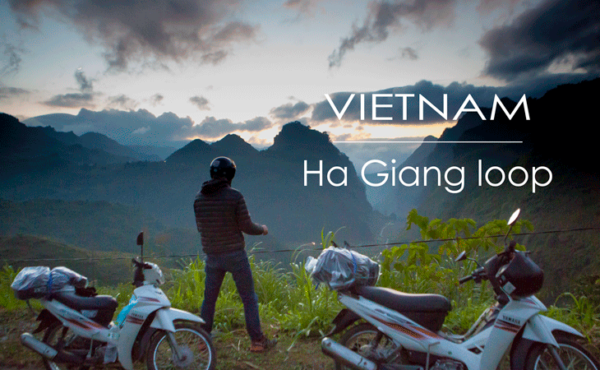
A two-wheeled adventure through the rugged landscapes of northern Vietnam is a journey like no other. Nestled within the majestic mountains of the region lies the Ha Giang Loop, a scenic route renowned for its breathtaking vistas, winding roads, and encounters with vibrant ethnic minority communities. This was our road trip by bicycle through this captivating region, where every twist and turn unveils a new story and leaves an indelible mark on the soul.
The Ha Giang loop
- Itinerary : Ha Giang – Tam Son – Du Già – Meo Vac – Dong Van – Yên Minh – Tam Son – Ha Giang
- Distance : 370 km
- Road conditions : from very good to hard in few short sections.
- Duration : 4 days (3 nights)
In November 2018 a friend and I did the Ha Giang loop in 4 days. The journey begins in the city of Ha Giang where you can rent motorbikes in several places. I recommend you QT motorbikes rent & tours for several reasons :
- They provide very well maintained motorbikes and scooters.
- They can suggest you loop itineraries according to the time you have and they also provides you a detailed map of your itinerary with all the highlights along the way. Angela from QT arranged us the itinerary above implemented in Google Maps (Below you can have a glance to the map provided by QT).
- They also have a guesthouse in case you need to stay one night in Ha Giang before or after your journey.
- You can leave luggages at and bring with you only necessary stuff for your motorbike tour.
- They are very professional and friendly.
- Map provided by QT motorbikes & tours for our 4 days trip with notes from Angela.
- 2nd Map provided by QT motorbikes & tours for our 4 days trip with notes from Angela.
We arrived in Ha Giang very early in the morning (4h30 am) after an awful bus trip from Hanoi. We didn’t sleep a wink and arrived completely exhausted. One of the QT motorbike & tours staff managed us to sleep for at least 2 hours in one of their rooms free of charge so we had a little rest before the long first day of our trip. But unlike us, if you have more time I recommend you to sleep one night in Ha Giang prior to your departure in order prepare for your trip and at the end of your journey to relax!
Day 1 – Hà Giang to Du Già
- Itinerary : Hà Giang – Quan Ba Heaven Gate – Tam Son – Can Ty – Thin Lo – Du Già
- Distance : 109 km
- Road conditions : QL4C road is in fine conditions, however there was some maintenance taking place in some areas. The DT181 road has long portions not yet paved, be cautious with the stony portions of it, to avoid any problems just drive slow and be patient, the good thing about the DT181 is that there is almost no trafic… other than that it’s in good conditions. The last portion of this leg uses the DT176 road which is in good conditions. If you have any update regarding the conditions of this leg don’t hesitate to leave a comment below this article.
- Highlights : Quan Ba Heaven Gate view point, Nam Dam rural village in Tam Son, the waterfalls along the DT181 and the scenery all the way to Du Già!
The first leg took us from Ha Giang (our starting point) to the rural village of Du Già. We had to take the QL4C road to Tam Son and continued to Can Ty bridge (crosses the Song Lo river) at km 62 where you leave the QL4C to take the DT181 heading south. I recommend you to leave early (and the other days as well) but 10 am max. for this trip, otherwise you will end up riding in the night upon arrival in Du Già. As soon as we exited Ha Giang city via the QL4C road heading north we dove into the fantastic scenery of the extreme north Vietnam, this marked the start of a non-stop amazing landscapes journey I ever witnessed. Below some pictures of the highlights of the day :
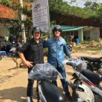
- In QT Motorbike rent & tours as we start our journey motorcycling.
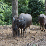
- Water buffalos. One hour after leaving Ha Giang on the QL4C road.
- Not far from Cốc Tiểng on the QL4C road.
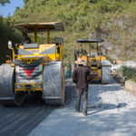
- Some sections of the QL4C road were under maintenance. Just wait a few moments before the workers let you pass.
- QL4C road prior to arrive at Quyết Tiến
- Quyết Tiến. A lovely place to make a pause.
- Arriving in Tam Son.
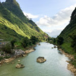
- Sông Lô river just at the cross between the QL4C road and the DT181 road.
- Just after leaving the QL4C road, the DT181 road was sometimes bumpy.
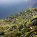
- View of the Sông Lô river from the DT181 road.
We stopped in several places to take pictures, drink a coffee or simply to enjoy the amazing sceneries.
Day 1 – Du Già to Dong Van
Itinerary : Du Già – Làng Khác – Mậu Duệ – Lũng Phìn – Sủng Trà – Mèo Vạc – Đồng Văn)
Distance : 92.3 Km
Road conditions : Very good
Dong Van to Tam Son (Day 3)
Itinerary : Dong Van – Lũng Hòa – Sủng Là – Phố Cáo – Yên Minh – Tam Son
Distance : 95.9 Km
Road conditions : Good.
Tam Son to Ha Giang (Day 4)
Itinerary : Tam Son – Tùng Vài – Tân Sơn – Ha Giang
Distance : 64.8 Km
Road conditions : From very good to hard
The shortest leg of this trip but by far the most difficult from a road standpoint.

